Using a nice map from National Geographic in gvSIG
In 1998, the Winkel Tripel projection replaced the Robinson projection as the standard projection for world maps made by the National Geographic Society, its OGC WKT being:
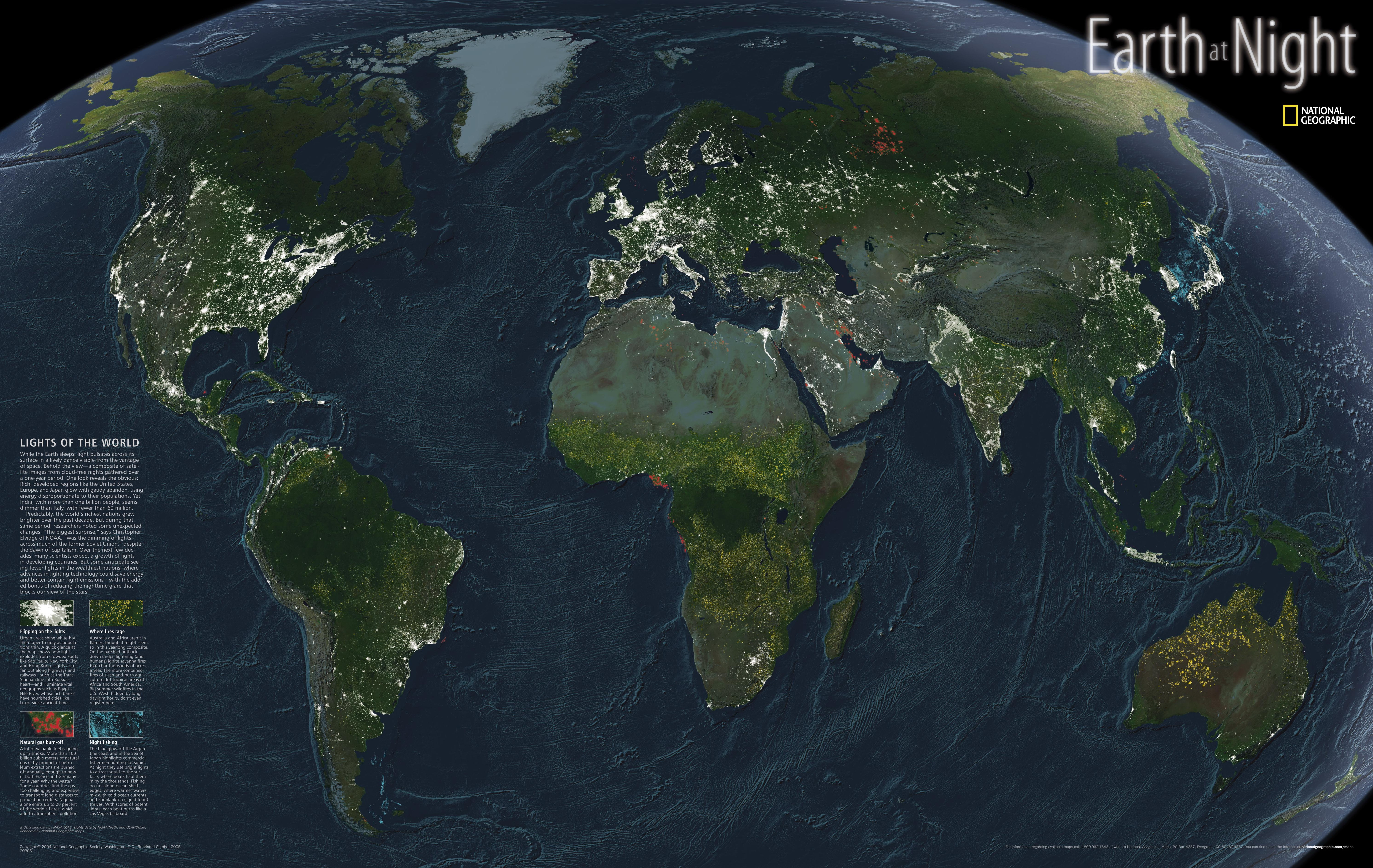
Using that string to create a user-defined CRS in gvSIG, we can easily reproject a world shapefile and then georeference (with gvSIG's georeferencing tool) one of those nice JPG images the National Geographic provides. I found a large one here. The result in gvSIG looks like this:

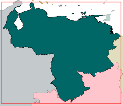
A closer look shows that the shapefile adheres pretty well to the originally raw JPG image, which means that the six parameters in our world file (usually *.WLD or *.JPGW) are correct:

PROJCS["World_Winkel_Tripel_NGS",GEOGCS["GCS_WGS_1984",DATUM["D_WGS_1984",
SPHEROID["WGS_1984",6378137.0,298.257223563]],PRIMEM["Greenwich",0.0],
UNIT["Degree",0.0174532925199433]],PROJECTION["Winkel_Tripel"],
PARAMETER["False_Easting",0.0],PARAMETER["False_Northing",0.0],
PARAMETER["Central_Meridian",0.0],PARAMETER["Standard_Parallel_1",40.0],
UNIT["Meter",1.0]]
Using that string to create a user-defined CRS in gvSIG, we can easily reproject a world shapefile and then georeference (with gvSIG's georeferencing tool) one of those nice JPG images the National Geographic provides. I found a large one here. The result in gvSIG looks like this:

A closer look shows that the shapefile adheres pretty well to the originally raw JPG image, which means that the six parameters in our world file (usually *.WLD or *.JPGW) are correct:
4433.991918845445
-0.7687682013055944
-2.857930140632337
-4405.2218718012255
-12158888.09204839
9846623.583431292


Comments
Post a Comment